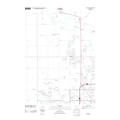
2013 Map of Grimes
USGS Topo · Published 2013About this map
Grimes serves as the focal point of this 2013 survey, illustrating the rapid suburban expansion and residential street patterns that have come to define this portion of Iowa. The map documents a transition from agricultural use to modern developments, notably around the Beaver Creek Golf Course and various new residential corridors like Destination Dr. While the grid of the city expands, the natural drainage of the landscape remains central, dictated by Beaver Cr and its various tributaries including Little Beaver Cr and N Walnut Cr.
Find a feature on this map
159 named features on this map. Tap any name to fly to it.
Don’t see what you’re looking for? This feature index may not catch every label — zoom into the map to look around manually.
Map Details
Editions of this 2013 Grimes Map
This is the sole edition of this map. No revisions or reprints were ever made.
Other maps of this area

1905 · Des Moines
USGS Topo · 1:62,500

1907 · Des Moines
USGS Topo · 1:62,500

1908 · Waukee
USGS Topo · 1:62,500

1911 · Madrid
USGS Topo · 1:62,500

1911 · Slater
USGS Topo · 1:62,500

1913 · Slater
USGS Topo · 1:62,500

1914 · Madrid
USGS Topo · 1:62,500

1954 · Des Moines
USGS Topo · 1:250,000

1956 · Des Moines
USGS Topo · 1:250,000

1956 · Des Moines NW
USGS Topo · 1:24,000