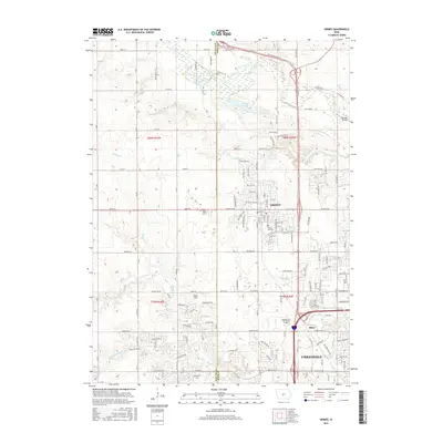
2015 Map of Grimes
USGS Topo · Published 2015About this map
The growing community of Grimes and the northern reaches of Urbandale anchor this detailed study of the suburban-rural interface in Dallas and Polk counties. At this time, the landscape reveals a transition from traditional agricultural sections to residential expansion, particularly visible near the Kaplan Univ Des Moines Campus and the settlement at Rider. Local history and genealogy are anchored by landmarks like Sunny Hill Cem and the Hoff Prairie Cem, while the natural drainage of the Des Moines River basin is traced through several waterways. Walnut Cr, N Walnut Cr, and Little Walnut Cr wind through the southern sections, while Beaver Cr and the marshy Brenton Slough define the northern terrain. The grid of county roads, including NW 70th Ave and 230th St, provides the framework for this era's rapid development.
Find a feature on this map
72 named features on this map. Tap any name to fly to it.
Don’t see what you’re looking for? This feature index may not catch every label — zoom into the map to look around manually.
Map Details
Editions of this 2015 Grimes Map
This is the sole edition of this map. No revisions or reprints were ever made.
Other maps of this area

1905 · Des Moines
USGS Topo · 1:62,500

1907 · Des Moines
USGS Topo · 1:62,500

1908 · Waukee
USGS Topo · 1:62,500

1911 · Madrid
USGS Topo · 1:62,500

1911 · Slater
USGS Topo · 1:62,500

1913 · Slater
USGS Topo · 1:62,500

1914 · Madrid
USGS Topo · 1:62,500

1954 · Des Moines
USGS Topo · 1:250,000

1956 · Des Moines
USGS Topo · 1:250,000

1956 · Des Moines NW
USGS Topo · 1:24,000