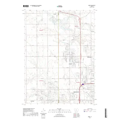
2018 Map of Grimes
USGS Topo · Published 2018About this map
The rapid expansion of the Des Moines metropolitan area is evident in this detailed view of the Grimes and Johnston vicinity. The landscape is defined by the transition from rural agricultural sections to modern suburban developments, specifically where Urbandale, Clive, and Waukee converge along the southern boundary. While the grid of residential streets like Dolan Dr and SE 15th St marks the modern footprint, older landmarks remain, including the Sunny Hill Cem near the heart of Grimes and the Hoff Prairie Cem to the northwest. The natural topography is shaped by the winding courses of Beaver Creek and Walnut Cr, which provide a constant physical boundary amidst the changing human geography of the Dallas and Polk County line. The small settlement of Rider serves as a reminder of the area's earlier railroad-oriented connectivity along the southern corridor.
Find a feature on this map
66 named features on this map. Tap any name to fly to it.
Don’t see what you’re looking for? This feature index may not catch every label — zoom into the map to look around manually.
Map Details
Editions of this 2018 Grimes Map
This is the sole edition of this map. No revisions or reprints were ever made.
Other maps of this area

1905 · Des Moines
USGS Topo · 1:62,500

1907 · Des Moines
USGS Topo · 1:62,500

1908 · Waukee
USGS Topo · 1:62,500

1911 · Madrid
USGS Topo · 1:62,500

1911 · Slater
USGS Topo · 1:62,500

1913 · Slater
USGS Topo · 1:62,500

1914 · Madrid
USGS Topo · 1:62,500

1954 · Des Moines
USGS Topo · 1:250,000

1956 · Des Moines
USGS Topo · 1:250,000

1956 · Des Moines NW
USGS Topo · 1:24,000