
1957 Map of Grizzly Ridge
USGS Topo · Published 1959About this map
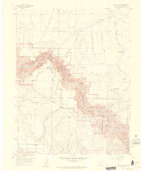
Black Canyon of the Gunnison National Monument dominates this mid-century survey, showcasing the sheer drop-offs and complex geology of the Gunnison River gorge. The map details the infrastructure required to navigate this vertical landscape, from the North Rim Ranger Sta and South Rim Ranger Sta to the critical water management of the Vernal Ditch. At the bottom of the canyon, the East Portal marks a significant point of human intervention in the river's flow. On the surrounding plateaus, the landscape transitions to the agricultural and grazing lands of Fruitland Mesa and Vernal Mesa. Significant local landmarks like Orchard Corner and the Bostwick Park Road indicate the established rural road network during the late 1950s. The topography is dotted with family-named features and local geographic identifiers, including Jones Summit and Poison Spring Hill, which define the high ground between the deep gulches.
Find a feature on this map
53 named features on this map. Tap any name to fly to it.
Don’t see what you’re looking for? This feature index may not catch every label — zoom into the map to look around manually.
Map Details
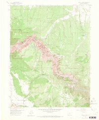
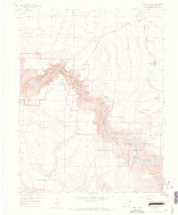
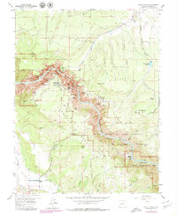
Editions of this 1957 Grizzly Ridge Map
5 editions found
Other maps of this area

1909 · Montrose
USGS Topo · 1:125,000

1911 · Montrose
USGS Topo · 1:125,000

1955 · Black Ridge
USGS Topo · 1:24,000

1955 · Red Rock Canyon
USGS Topo · 1:24,000

1956 · Cimarron
USGS Topo · 1:24,000

1956 · Montrose
USGS Topo · 1:250,000

1957 · Cathedral Peak
USGS Topo · 1:24,000

1957 · Cerro Summit
USGS Topo · 1:24,000

1959 · Montrose
USGS Topo · 1:250,000

1960 · Montrose
USGS Topo · 1:250,000