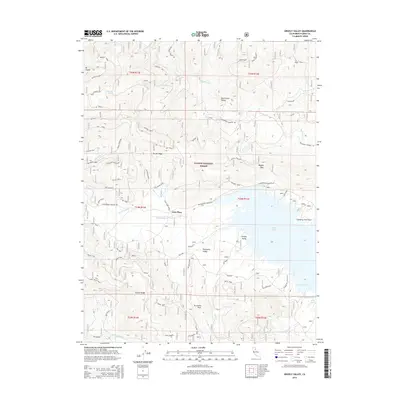
2015 Map of Grizzly Valley
USGS Topo · Published 2015About this map
Mt Ingalls and Smith Peak dominate the high-elevation terrain of the Plumas National Forest in this mid-2010s survey. The landscape is defined by the significant watershed of Lake Davis, where Big Grizzly Cr and Cow Cr feed into the northern coves and points, including Lightning Tree Point and Dan Blough Cove. The area maintains a network of forest access routes and specialized spurs, such as the Tramway Spur, Grizzly Loop, and Happy Valley Spur A, reflecting the region's history of timber management and recreation. Small named junctions and localities like Gate Place, Four Corners, and Five Corners serve as landmarks within the valleys. The topography transitions from the high eastern reach of Grizzly Ridge down into the meadows of Grizzly Valley and Threemile Valley, preserving the spatial layout of this Sierra Nevada backcountry during a period of modern forest service administration.
Find a feature on this map
58 named features on this map. Tap any name to fly to it.
Don’t see what you’re looking for? This feature index may not catch every label — zoom into the map to look around manually.
Map Details
Editions of this 2015 Grizzly Valley Map
This is the sole edition of this map. No revisions or reprints were ever made.
Other maps of this area

1886 · Honey Lake
USGS Topo · 1:250,000

1890 · Sierraville
USGS Topo · 1:125,000

1891 · Downieville
USGS Topo · 1:125,000

1891 · Honey Lake
USGS Topo · 1:250,000

1892 · Sierraville
USGS Topo · 1:125,000

1893 · Honey Lake
USGS Topo · 1:250,000

1893 · Downieville
USGS Topo · 1:125,000

1894 · Sierraville
USGS Topo · 1:125,000

1895 · Downieville
USGS Topo · 1:125,000

1896 · Downieville
USGS Topo · 1:125,000