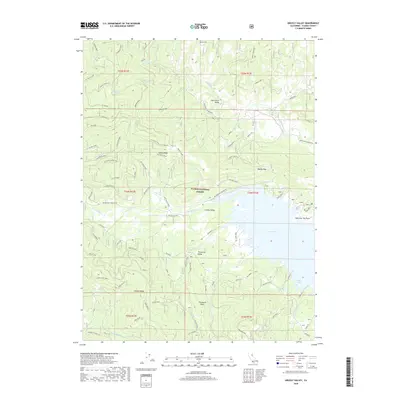
2018 Map of Grizzly Valley
USGS Topo · Published 2018About this map
Lake Davis dominates the central landscape of this portion of the Plumas National Forest, serving as a focal point for the surrounding high-elevation terrain. The map illustrates a complex network of forest roads and spurs, such as the Old House Grade and Happy Valley Spur A, which navigate the steep rises of Mt Ingalls and Grizzly Ridge. These routes provide access to named landmarks like Threemile Rock and Lightning Tree Point on the lake's eastern shore.
Find a feature on this map
73 named features on this map. Tap any name to fly to it.
Don’t see what you’re looking for? This feature index may not catch every label — zoom into the map to look around manually.
Map Details
Editions of this 2018 Grizzly Valley Map
This is the sole edition of this map. No revisions or reprints were ever made.
Other maps of this area
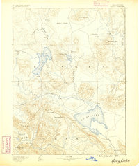
1886 · Honey Lake
USGS Topo · 1:250,000
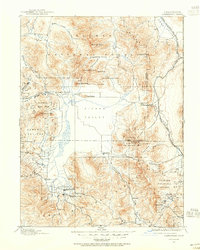
1890 · Sierraville
USGS Topo · 1:125,000
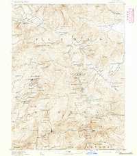
1891 · Downieville
USGS Topo · 1:125,000
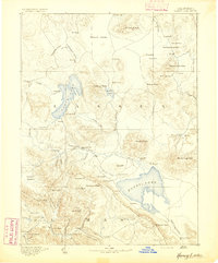
1891 · Honey Lake
USGS Topo · 1:250,000
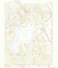
1892 · Sierraville
USGS Topo · 1:125,000
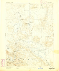
1893 · Honey Lake
USGS Topo · 1:250,000
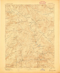
1893 · Downieville
USGS Topo · 1:125,000
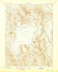
1894 · Sierraville
USGS Topo · 1:125,000
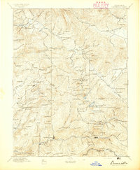
1895 · Downieville
USGS Topo · 1:125,000
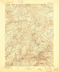
1896 · Downieville
USGS Topo · 1:125,000