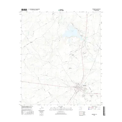
2016 Map of Groesbeck
USGS Topo · Published 2016About this map
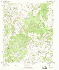
Groesbeck serves as the focal point of this Limestone County landscape, where the Navasota River and its tributaries define the regional geography. The area is marked by significant cultural landmarks, including the Fort Parker State Park-Lake and the nearby Fort Parker Memorial Cem, reflecting the deep local heritage of central Texas. Small settlements like Thelma and the reservoir waters of Springfield Lake and Lake Groesbeck illustrate the intersection of natural water resources and community development. Genealogists will find a high concentration of burial sites across the terrain, from Faulkenberry Cem and Lone Star Cem to the north and south, to the smaller Dancer Cem and Doyle Cem. The presence of the Fort Parker Flying Field further highlights the diverse land use, ranging from recreational parklands to local aviation infrastructure during the mid-2010s.
Find a feature on this map
92 named features on this map. Tap any name to fly to it.
Don’t see what you’re looking for? This feature index may not catch every label — zoom into the map to look around manually.
Map Details
Editions of this 2016 Groesbeck Map
This is the sole edition of this map. No revisions or reprints were ever made.
Other maps of this area
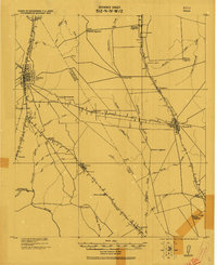
1920 · Mexia
USGS Topo · 1:62,500

1954 · Waco
USGS Topo · 1:250,000

1955 · Waco
USGS Topo · 1:250,000
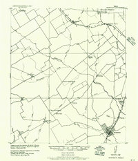
1957 · Groesbeck
USGS Topo · 1:62,500
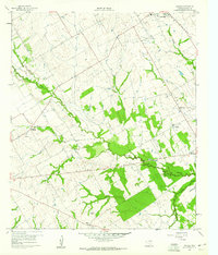
1960 · Echols
USGS Topo · 1:24,000
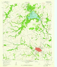
1960 · Groesbeck
USGS Topo · 1:24,000
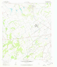
1960 · Tehuacana
USGS Topo · 1:24,000
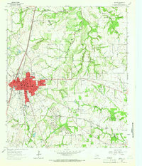
1963 · Mexia
USGS Topo · 1:24,000
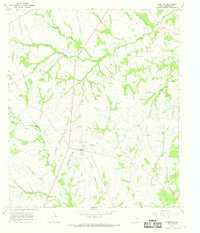
1966 · Thornton
USGS Topo · 1:24,000
1966 · Box Church
USGS Topo · 1:24,000