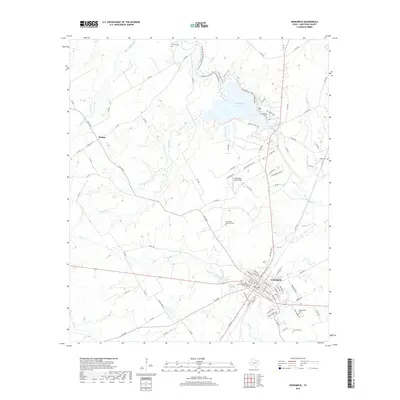
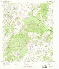
2019 Map of Groesbeck
USGS Topo · Published 2019About this map
Groesbeck serves as the focal point of this Limestone County landscape, where the town’s street grid meets the winding course of Frost Cr. The northern reaches are dominated by Springfield Lake, an impoundment of the Navasota River that covers the site of the former town of Springfield. This area is noted for its high concentration of pioneer and community burial grounds, including Springfield Cem and the Fort Parker Memorial Cem, which preserve the early history of the region's settlement.
Find a feature on this map
99 named features on this map. Tap any name to fly to it.
Don’t see what you’re looking for? This feature index may not catch every label — zoom into the map to look around manually.
Map Details
Editions of this 2019 Groesbeck Map
This is the sole edition of this map. No revisions or reprints were ever made.
Other maps of this area
1920 · Mexia
USGS Topo · 1:62,500

1954 · Waco
USGS Topo · 1:250,000

1955 · Waco
USGS Topo · 1:250,000
1957 · Groesbeck
USGS Topo · 1:62,500
1960 · Echols
USGS Topo · 1:24,000
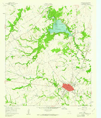
1960 · Groesbeck
USGS Topo · 1:24,000
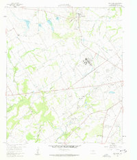
1960 · Tehuacana
USGS Topo · 1:24,000
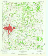
1963 · Mexia
USGS Topo · 1:24,000
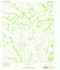
1966 · Thornton
USGS Topo · 1:24,000
1966 · Box Church
USGS Topo · 1:24,000