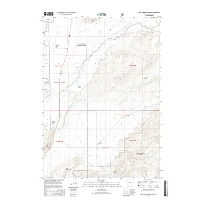
2015 Map of Gros Ventre Junction
USGS Topo · Published 2015About this map
Jackson Hole Airport and the busy road corridor of Gros Ventre Junction anchor the valley floor in this 2015 study of the Teton landscape. The terrain is defined by prominent rises including Blacktail Butte to the north and East Gros Ventre Butte to the west, which divert the flow of the Gros Ventre River and various spring-fed tributaries. To the east, the landscape transitions into the protected slopes of Teton National Forest, where Curtis Canyon and the headwaters of Sheep Cr reveal the topographical complexity of the valley's edge.
Find a feature on this map
38 named features on this map. Tap any name to fly to it.
Don’t see what you’re looking for? This feature index may not catch every label — zoom into the map to look around manually.
Map Details
Editions of this 2015 Gros Ventre Junction Map
This is the sole edition of this map. No revisions or reprints were ever made.
Other maps of this area
1899 · Grand Teton
USGS Topo · 1:125,000
1901 · Grand Teton
USGS Topo · 1:125,000
1931 · Jackson
USGS Topo · 1:125,000
1935 · Jackson
USGS Topo · 1:125,000
1955 · Driggs
USGS Topo · 1:250,000
1958 · Driggs
USGS Topo · 1:250,000
1962 · Driggs
USGS Topo · 1:250,000
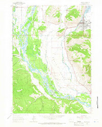
1963 · Jackson
USGS Topo · 1:24,000
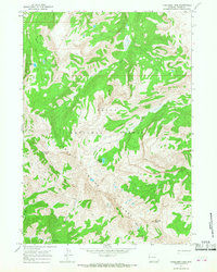
1965 · Turquoise Lake
USGS Topo · 1:24,000
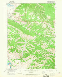
1965 · Cache Creek
USGS Topo · 1:24,000