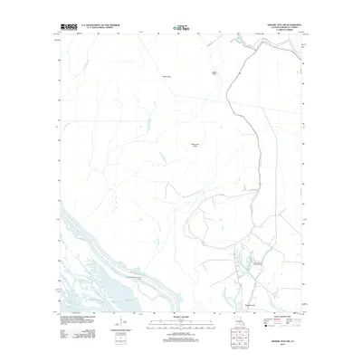
2012 Map of Grosse Tete SW
USGS Topo · Published 2012About this map
The East Atchafalaya Protection Levee cuts a definitive line across the southwestern portion of this Iberville Parish landscape, separating the intricate wetland networks from the higher Upper Flat. This terrain is defined by its complex drainage and industrial presence, notably the Bayou Blue Oil and Gas Field and the Moonshine Field. A web of natural and man-made waterways like Grand Bayou, Bayou Maringouin, and the Trinity Canal illustrates the managed hydrology essential to this region of Louisiana. Local access is provided by several named rural routes, including Atchafalaya Basin Levee Rd and Alligator Rd, which skirt the edges of the basins and bayous. The map captures the intersection of natural alluvial features and the infrastructure of the local energy industry.
Find a feature on this map
18 named features on this map. Tap any name to fly to it.
Don’t see what you’re looking for? This feature index may not catch every label — zoom into the map to look around manually.
Map Details
Editions of this 2012 Grosse Tete SW Map
This is the sole edition of this map. No revisions or reprints were ever made.
Other maps of this area

1935 · Osca Bayou
USGS Topo · 1:62,500

1935 · Chicot Lake
USGS Topo · 1:62,500

1940 · Grosse Tete
USGS Topo · 1:62,500

1941 · Loreauville
USGS Topo · 1:62,500

1953 · Crescent
USGS Topo · 1:24,000

1953 · Cow Bayou
USGS Topo · 1:24,000

1953 · Lobdell
USGS Topo · 1:24,000

1953 · Pigeon Bay
USGS Topo · 1:24,000

1953 · Maringouin
USGS Topo · 1:24,000

1953 · Addis
USGS Topo · 1:24,000