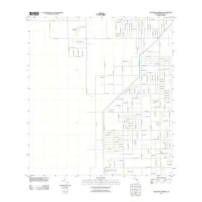
2012 Map of Grossman Hammock
USGS Topo · Published 2012About this map
Grossman Hammock and the waters of Lake Chekika sit at the heart of this landscape, illustrating the unique intersection of natural Florida wetlands and agricultural development. The map reveals a highly structured grid of section lines and roads, such as SW 168th St and SW 184th St, that define the region's transition into an active aviation and farming hub. A remarkable concentration of private airstrips and specialized landing grounds, including Kendall Gliderport, Richards Field Airport, and the B and L Farms Airport, underscores the importance of aerial access to these outlying fields. To the south, the Mowry Canal Number C-103 represents the critical water management infrastructure necessary for sustaining the local economy, while the Homestead General Aviation Airport anchors the lower portion of the sheet.
Find a feature on this map
102 named features on this map. Tap any name to fly to it.
Don’t see what you’re looking for? This feature index may not catch every label — zoom into the map to look around manually.
Map Details
Editions of this 2012 Grossman Hammock Map
This is the sole edition of this map. No revisions or reprints were ever made.
Other maps of this area

1949 · South Miami NW
USGS Topo · 1:24,000

1949 · Goulds
USGS Topo · 1:24,000

1950 · Homestead
USGS Topo · 1:24,000

1955 · South Miami NW
USGS Topo · 1:24,000

1956 · Goulds
USGS Topo · 1:24,000

1956 · Grossman Hammock
USGS Topo · 1:24,000

1956 · Homestead
USGS Topo · 1:24,000

1956 · Royal Palm Ranger Station
USGS Topo · 1:24,000

1956 · Miami
USGS Topo · 1:250,000

1958 · Miami
USGS Topo · 1:250,000