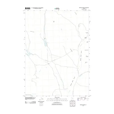
2011 Map of Grouse Creek
USGS Topo · Published 2011About this map
Grouse Creek Valley defines this northern Utah landscape, where the settlement of Grouse Creek and the remote Etna ranching locale sit within a network of canyons and high-desert drainages. The topography is shaped by water sources essential to this arid region, including Etna Spring, Etna Reservoir, and the Straight Fork Creek. Local history is grounded in family-run landholdings like the Kimber Ranch, which includes the Kimber Ranch Burial site, offering a specific window into the genealogy of the area's early residents.
Find a feature on this map
31 named features on this map. Tap any name to fly to it.
Don’t see what you’re looking for? This feature index may not catch every label — zoom into the map to look around manually.
Map Details
Editions of this 2011 Grouse Creek Map
This is the sole edition of this map. No revisions or reprints were ever made.
Other maps of this area

1954 · Brigham City
USGS Topo · 1:250,000
1955 · Wells
USGS Topo · 1:250,000
1958 · Wells
USGS Topo · 1:250,000
1958 · Brigham City
USGS Topo · 1:250,000
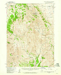
1959 · Cotton Thomas Basin
USGS Topo · 1:62,500
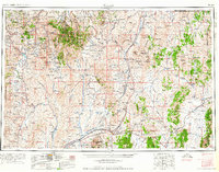
1961 · Wells
USGS Topo · 1:250,000
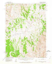
1961 · Goose Creek
USGS Topo · 1:62,500
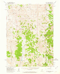
1961 · Dairy Valley
USGS Topo · 1:62,500
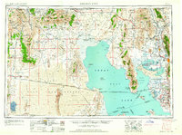
1962 · Brigham City
USGS Topo · 1:250,000
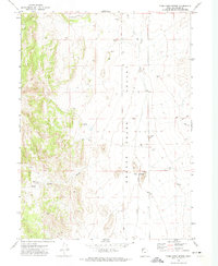
1971 · Toms Cabin Spring
USGS Topo · 1:24,000