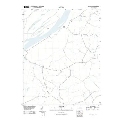
2010 Map of Grove Center
USGS Topo · Published 2010About this map
The low-lying river bottoms and oxbow lakes of the Ohio River valley define this landscape at the border of Kentucky and Illinois. The settlement of Raleigh sits on the edge of a significant bend in the river, overlooking Bell Island and a complex network of wetlands including Fish Lake, Black Lake, and Fehrer Lake. Further inland, the small communities of Spring Grove and Blackburn are connected by rural roads that navigate around the distinctive terrain of Grundy Hill and The Rocks. To the south, Geiger Lake and the drainage of Cypress Creek and Wash Creek characterize the hydrology of this agricultural region. The mapping shows how rural development has historically followed the higher ground, such as Bald Hill, while avoiding the seasonally inundated floodplains near the river's edge.
Find a feature on this map
37 named features on this map. Tap any name to fly to it.
Don’t see what you’re looking for? This feature index may not catch every label — zoom into the map to look around manually.
Map Details
Editions of this 2010 Grove Center Map
This is the sole edition of this map. No revisions or reprints were ever made.
Other maps of this area

1905 · New Haven
USGS Topo · 1:62,500

1906 · New Haven
USGS Topo · 1:62,500

1907 · Morganfield
USGS Topo · 1:62,500

1916 · Shawneetown
USGS Topo · 1:62,500

1917 · Uniontown
USGS Topo · 1:62,500

1949 · Paducah
USGS Topo · 1:250,000

1949 · New Haven
USGS Topo · 1:62,500

1949 · Morganfield
USGS Topo · 1:24,000

1950 · Paducah
USGS Topo · 1:250,000

1951 · Sturgis
USGS Topo · 1:24,000