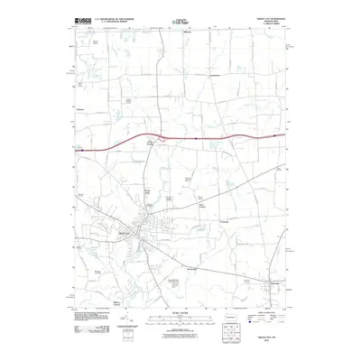
2010 Map of Grove City
USGS Topo · Published 2010About this map
Grove City serves as the primary hub of this 2010 survey, characterized by a dense network of residential streets and local landmarks. The landscape is defined by the winding course of Wolf Creek and its tributaries, including Black Run and Swamp Run, which navigate through a patchwork of small settlements like Harrisville, Millbrook, and McCoytown. The area’s aviation history is surprisingly prominent, with several specialized landing strips such as Sagulla Airport, Flying M Ranch Airport, and the August-Menzies-Monroe Airport Grove City Landing Area dotting the outskirts of the main town. Several established burial grounds, including Woodland Cemetery and Harmony Cemetery, provide critical reference points for local genealogy. The transition from the urban center of Grove City to peripheral communities like Broad Acres and Kerrs Corners illustrates the ongoing development patterns of Mercer County at the start of the 21st century.
Find a feature on this map
80 named features on this map. Tap any name to fly to it.
Don’t see what you’re looking for? This feature index may not catch every label — zoom into the map to look around manually.
Map Details
Editions of this 2010 Grove City Map
This is the sole edition of this map. No revisions or reprints were ever made.
Other maps of this area

1909 · Franklin
USGS Topo · 1:62,500

1910 · Hilliards
USGS Topo · 1:62,500

1911 · Franklin
USGS Topo · 1:62,500

1911 · Stoneboro
USGS Topo · 1:62,500

1912 · Hilliards
USGS Topo · 1:62,500

1913 · Stoneboro
USGS Topo · 1:62,500

1913 · Mercer
USGS Topo · 1:62,500

1939 · Mercer
USGS Topo · 1:62,500

1943 · Mercer
USGS Topo · 1:62,500

1943 · Stoneboro
USGS Topo · 1:62,500
Featured Places
- Grove City, PA
- Harrisville, PA
- Jackson Township, PA
- Irishtown, Findley Township
- Broad Acres, Pine Township