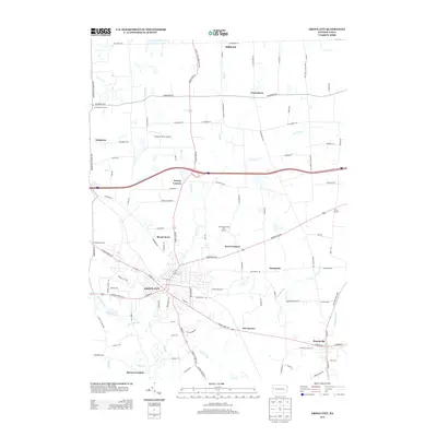
2013 Map of Grove City
USGS Topo · Published 2013About this map
Grove City serves as the primary urban center in this 2013 survey, surrounded by a network of crossroads settlements and family-named corners in Mercer County. The landscape is defined by the winding course of Wolf Creek and its tributaries, such as Swamp Run and Barmore Run, which fed early local industry and now shape the residential and recreational layout of the area. Notable landmarks including Barmore Lake and the Pine Grove Public Golf Course provide clear points of reference for local geography. The map captures the persistent small-town character of the region, from the borough of Harrisville to smaller clusters like Irishtown, Millbrook, and Centertown. Local aviation history is represented by the Flying M Ranch Airport, while the legacy of early rural infrastructure is visible in the network of named roads like Scrubgrass Rd and Barkeyville Rd.
Find a feature on this map
95 named features on this map. Tap any name to fly to it.
Don’t see what you’re looking for? This feature index may not catch every label — zoom into the map to look around manually.
Map Details
Editions of this 2013 Grove City Map
This is the sole edition of this map. No revisions or reprints were ever made.
Other maps of this area

1909 · Franklin
USGS Topo · 1:62,500

1910 · Hilliards
USGS Topo · 1:62,500

1911 · Franklin
USGS Topo · 1:62,500

1911 · Stoneboro
USGS Topo · 1:62,500

1912 · Hilliards
USGS Topo · 1:62,500

1913 · Stoneboro
USGS Topo · 1:62,500

1913 · Mercer
USGS Topo · 1:62,500

1939 · Mercer
USGS Topo · 1:62,500

1943 · Mercer
USGS Topo · 1:62,500

1943 · Stoneboro
USGS Topo · 1:62,500
Featured Places
- Grove City, PA
- Harrisville, PA
- Jackson Township, PA
- Irishtown, Findley Township
- Broad Acres, Pine Township