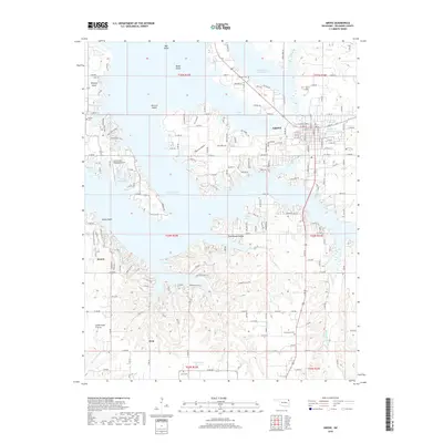
2018 Map of Grove
USGS Topo · Published 2018About this map
Grand Lake O' the Cherokees dominates this corner of Delaware County, Oklahoma, defining the landscape around Grove. The map illustrates the intricate shoreline of the reservoir, highlighting numerous inlets like Carey Bay and Dilar Cove, alongside prominent landforms such as Monkey Island and Patricia Island. Away from the water, the geography transitions into named expanses like Sweetwater Prairie and Courthouse Prairie, where the rural character is maintained through small settlements like Zena and Dennis. Local genealogy and land history are preserved through the locations of several burial grounds, including Buzzard Cem, Tauneacie Cem, and Zena Cem. The presence of the Grand Lake Regional Airport near the water's edge reflects the area's development as a regional hub for recreation and transit in the late 2010s.
Find a feature on this map
212 named features on this map. Tap any name to fly to it.
Don’t see what you’re looking for? This feature index may not catch every label — zoom into the map to look around manually.
Map Details
Editions of this 2018 Grove Map
This is the sole edition of this map. No revisions or reprints were ever made.
Other maps of this area
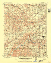
1899 · Siloam Springs
USGS Topo · 1:125,000
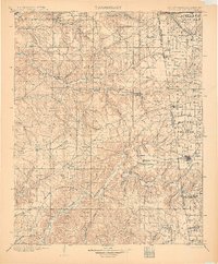
1903 · Siloam Springs
USGS Topo · 1:125,000
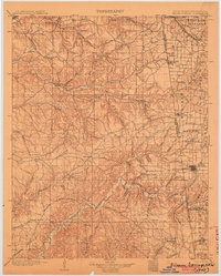
1904 · Siloam Springs
USGS Topo · 1:125,000
1907 · Wyandotte
USGS Topo · 1:125,000
1909 · Wyandotte
USGS Topo · 1:125,000

1954 · Tulsa
USGS Topo · 1:250,000
1958 · Tulsa
USGS Topo · 1:250,000
1963 · Tulsa
USGS Topo · 1:250,000
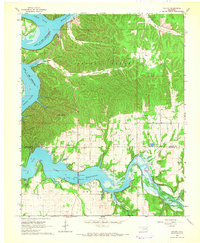
1964 · Cayuga
USGS Topo · 1:24,000
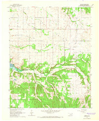
1964 · Dodge
USGS Topo · 1:24,000