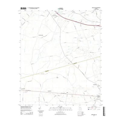
2014 Map of Groveland
USGS Topo · Published 2014About this map
Groveland and Pembroke anchor the lower portion of this landscape, situated along the Charles F Warnell Sr Hwy corridor. The geography is defined by a dense network of blackwater drainage systems, including the extensive Luke Swamp and several creeks like Ash Br and Otter Hole Br. Small rural communities such as Reka, Southward, and Mitchell Forks are connected by a web of local roads, many bearing family names that indicate long-standing local ties, such as Billy Hendrix Rd and Nesmith Proctor Rd. Genealogists will find several burial grounds noted, including Beautiful Zion Cem and Red Hill Cem. The boundary between Bulloch and Bryan counties cuts diagonally across the center, illustrating how these natural and political lines converge in this part of Georgia. The settlement pattern reflects a transition from traditional agricultural clusters like Statesborough toward more structured transportation corridors.
Find a feature on this map
91 named features on this map. Tap any name to fly to it.
Don’t see what you’re looking for? This feature index may not catch every label — zoom into the map to look around manually.
Map Details
Editions of this 2014 Groveland Map
This is the sole edition of this map. No revisions or reprints were ever made.
Other maps of this area

1919 · Claxton
USGS Topo · 1:62,500

1920 · Pembroke
USGS Topo · 1:62,500

1920 · Statesboro
USGS Topo · 1:62,500

1921 · Brooklet
USGS Topo · 1:62,500

1943 · Brooklet
USGS Topo · 1:62,500

1943 · Statesboro
USGS Topo · 1:62,500

1944 · Claxton
USGS Topo · 1:62,500

1947 · Savannah
USGS Topo · 1:250,000

1948 · Savannah
USGS Topo · 1:250,000

1948 · Pembroke
USGS Topo · 1:62,500