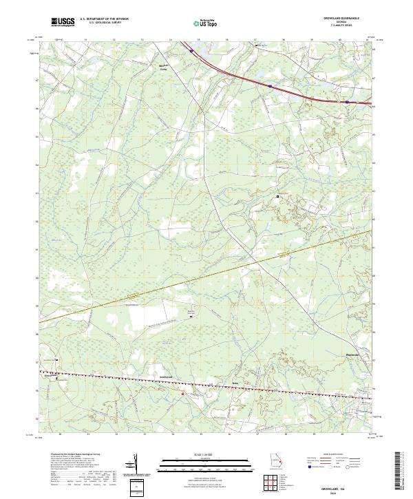
2024 Map of Groveland
USGS Topo · Published 2024About this map
Mitchell Forks and the surrounding coastal plain of Bulloch and Bryan Counties are defined by a complex network of wetlands and intermittent watercourses. Low-lying terrain is punctuated by significant depressions such as Bulloch Bay, Bryan Bay, and Boggy Bay, which feed into drainage systems like Lake Swamp and Otter Hole Branch. This modern survey documents the persistent rural character of the region, where small settlements like Groveland, Reka, and Southward anchor a landscape of timber and agriculture.
Find a feature on this map
92 named features on this map. Tap any name to fly to it.
Don’t see what you’re looking for? This feature index may not catch every label — zoom into the map to look around manually.
Map Details
Editions of this 2024 Groveland Map
This is the sole edition of this map. No revisions or reprints were ever made.
Other maps of this area

1919 · Claxton
USGS Topo · 1:62,500

1920 · Pembroke
USGS Topo · 1:62,500

1920 · Statesboro
USGS Topo · 1:62,500

1921 · Brooklet
USGS Topo · 1:62,500

1943 · Brooklet
USGS Topo · 1:62,500

1943 · Statesboro
USGS Topo · 1:62,500

1944 · Claxton
USGS Topo · 1:62,500

1947 · Savannah
USGS Topo · 1:250,000

1948 · Savannah
USGS Topo · 1:250,000

1948 · Pembroke
USGS Topo · 1:62,500