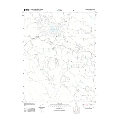
2012 Map of Groveland
USGS Topo · Published 2012About this map
Groveland and the surrounding Sierra foothills are defined by a complex network of canyons and ridges where gold rush history and modern utility infrastructure meet. The land is marked by deep gulches such as Whites Gulch and Long Gulch, while the Hetch Hetchy Aqueduct cuts through the terrain, tracing a critical path for California's water history. Significant local landmarks include the Bret Harte Cabin and the settlement of Second Garrotte, reflecting the region's literary and mining heritage. The landscape transitions from the residential developments surrounding Pine Mountain Lake and the Pine Mountain Lake Airport to the steep, untamed drainage of the Tuolumne River in the northeast. Genealogists and local historians can trace family properties like Crook Ranch and Graham Ranch, or explore the many creeks like Big Jackass Cr and Smith Cr that feed into the larger river systems.
Find a feature on this map
97 named features on this map. Tap any name to fly to it.
Don’t see what you’re looking for? This feature index may not catch every label — zoom into the map to look around manually.
Map Details
Editions of this 2012 Groveland Map
This is the sole edition of this map. No revisions or reprints were ever made.
Other maps of this area

1893 · Sonora
USGS Topo · 1:125,000

1896 · Sonora
USGS Topo · 1:125,000

1897 · Sonora
USGS Topo · 1:125,000

1898 · Sonora
USGS Topo · 1:125,000

1944 · Merced Falls
USGS Topo · 1:62,500

1947 · San Jose
USGS Topo · 1:250,000

1947 · Coulterville
USGS Topo · 1:62,500
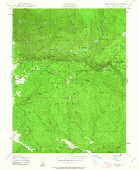
1947 · Jawbone Ridge
USGS Topo · 1:24,000
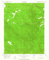
1947 · Buckhorn Peak
USGS Topo · 1:24,000
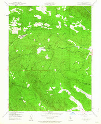
1947 · Groveland
USGS Topo · 1:24,000