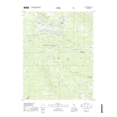
2018 Map of Groveland
USGS Topo · Published 2018About this map
Groveland and the historic settlement of Second Garrotte anchor this modern survey of the Sierra Nevada foothills, where the landscape is defined by the legacy of hydraulic mining and the engineering of California's water infrastructure. The Hetch Hetchy Aqueduct cuts across the center of the quadrangle, passing through the Second Garrotte Basin as it moves toward the valley. The map details the transition from high-density development around Pine Mountain Lake and the Pine Mountain Lake Airport to the wilderness of the Stanislaus National Forest. Significant terrain features such as Jackass Ridge, Hells Hollow Ridge, and Wagner Ridge frame deep drainages like Jackson Gulch and Whites Gulch. In the south, the boundary between Tuolumne County and Mariposa County follows the rugged terrain near Greeley Hill, while the Tuolumne River winds through the northern reaches, illustrating the region's complex network of creeks and valleys.
Find a feature on this map
143 named features on this map. Tap any name to fly to it.
Don’t see what you’re looking for? This feature index may not catch every label — zoom into the map to look around manually.
Map Details
Editions of this 2018 Groveland Map
This is the sole edition of this map. No revisions or reprints were ever made.
Other maps of this area
1893 · Sonora
USGS Topo · 1:125,000
1896 · Sonora
USGS Topo · 1:125,000
1897 · Sonora
USGS Topo · 1:125,000
1898 · Sonora
USGS Topo · 1:125,000
1944 · Merced Falls
USGS Topo · 1:62,500
1947 · San Jose
USGS Topo · 1:250,000
1947 · Coulterville
USGS Topo · 1:62,500
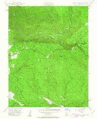
1947 · Jawbone Ridge
USGS Topo · 1:24,000
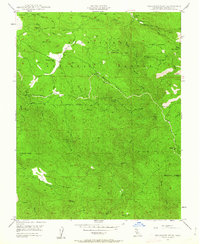
1947 · Buckhorn Peak
USGS Topo · 1:24,000
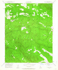
1947 · Groveland
USGS Topo · 1:24,000