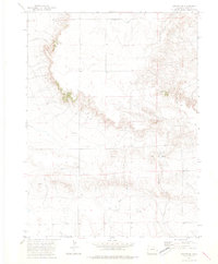
1972 Map of Grover SE
USGS Topo · Published 1975About this map
Sidney and Hoffman occupy a high plains landscape defined by the drainage systems of North Pawnee Creek and Wild Horse Creek. Surveyed in the early 1970s, this portion of Weld County illustrates the sparse ranching and resource extraction patterns of the era. The terrain is marked by significant topographical relief where Sidney Draw cuts through the plains, creating a network of ridges and draws.
Find a feature on this map
13 named features on this map. Tap any name to fly to it.
Don’t see what you’re looking for? This feature index may not catch every label — zoom into the map to look around manually.
Map Details
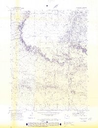
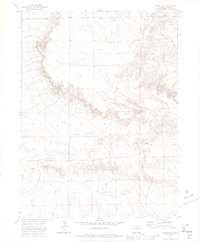
Editions of this 1972 Grover SE Map
3 editions found
Other maps of this area

1954 · Sterling
USGS Topo · 1:250,000

1954 · Greeley
USGS Topo · 1:250,000

1957 · Greeley
USGS Topo · 1:250,000

1958 · Greeley
USGS Topo · 1:250,000

1958 · Sterling
USGS Topo · 1:250,000

1961 · Greeley
USGS Topo · 1:250,000

1964 · Greeley
USGS Topo · 1:250,000

1965 · Greeley
USGS Topo · 1:250,000
1972 · Grover North
USGS Topo · 1:24,000

1972 · Keota NW
USGS Topo · 1:24,000