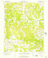
1956 Map of Grovespring
USGS Topo · Published 1957About this map
Grovespring sits in a landscape of narrow ridges and branching hollows along the boundary of Laclede Co and Wright Co. This mid-century survey documents a dense network of rural infrastructure, including multiple educational sites like Winters Sch and the Hall Sch (Abandoned), suggesting a shift in local population patterns as smaller districts were consolidated. The terrain is defined by the drainage of Parks Creek and Steins Creek, with small settlements like Origanna and Durbin serving as local hubs. Genealogists will find several family-named landmarks and religious centers such as Fairview Ch, Cuba Ch, and the Bramhall Cem, which anchor the various townships like Washington and Union. The intricate topographic detail reveals how the winding roads follow the natural contours of Dinah Hollow and Smittle Creek.
Find a feature on this map
29 named features on this map. Tap any name to fly to it.
Don’t see what you’re looking for? This feature index may not catch every label — zoom into the map to look around manually.
Map Details
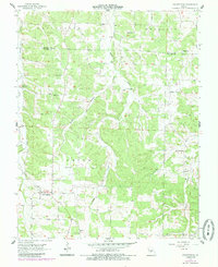
Editions of this 1956 Grovespring Map
2 editions found
Other maps of this area

1931 · Manes
USGS Topo · 1:48,000

1941 · Manes
USGS Topo · 1:62,500

1941 · Lebanon
USGS Topo · 1:62,500

1943 · Lebanon
USGS Topo · 1:62,500

1943 · Manes
USGS Topo · 1:62,500

1943 · Drynob
USGS Topo · 1:62,500

1954 · Springfield
USGS Topo · 1:250,000

1954 · Drynob
USGS Topo · 1:62,500

1954 · Drew
USGS Topo · 1:24,000

1956 · Duncan
USGS Topo · 1:24,000