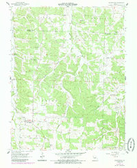
1956 Map of Grovespring
USGS Topo · Published 1985About this map
Grovespring serves as the primary hub in this Ozark landscape, situated at the junction of local routes in Wright County. The map documents a period of transition in rural education, where the Hall Sch (Abandoned) stands in contrast to active sites like the Smittle Sch and Winters Sch. The terrain is defined by a dense network of hollows and creeks, including Dinah Hollow and Steins Creek, which dictated the placement of early settlements and family cemeteries such as Davis Cem and Bramhall Cem. Smaller hamlets like Origanna and Durbin are visible along the county line, while spiritual life is anchored by country churches including Fairview Ch and Pleasant View Ch. This survey, field-checked in the mid-1950s and updated in the 1980s, preserves the specific locations of homesteads and community structures before further consolidation changed the character of these Missouri townships.
Find a feature on this map
26 named features on this map. Tap any name to fly to it.
Don’t see what you’re looking for? This feature index may not catch every label — zoom into the map to look around manually.
Map Details
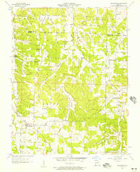
Editions of this 1956 Grovespring Map
2 editions found
Other maps of this area

1931 · Manes
USGS Topo · 1:48,000

1941 · Manes
USGS Topo · 1:62,500

1941 · Lebanon
USGS Topo · 1:62,500

1943 · Lebanon
USGS Topo · 1:62,500

1943 · Manes
USGS Topo · 1:62,500

1943 · Drynob
USGS Topo · 1:62,500

1954 · Springfield
USGS Topo · 1:250,000

1954 · Drynob
USGS Topo · 1:62,500

1954 · Drew
USGS Topo · 1:24,000

1956 · Duncan
USGS Topo · 1:24,000