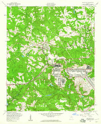
1957 Map of Grovetown
USGS Topo · Published 1980About this map
The Fort Gordon Military Reservation occupies a massive portion of this 1957 landscape, showing an intricate grid of barracks, numerous chapels, and a landing strip south of the Georgia railroad line. The boundary between Columbia Co and Richmond Co cuts through this terrain, where the military footprint contrasts sharply with the established rural settlements to the north. In Grovetown, the rail line serves as a central artery, connecting the town with nearby communities like Jerusalem and Mt Pleasant. Local genealogy is well-represented through family-named landmarks and rural congregations such as Steiner Grove Ch, Marvin Ch, and several burial grounds including Steiner Cem and Hill Cem. The northern half of the map is defined by a dense network of waterways, including Uchee Creek, Mill Branch, and Butler Creek, which feed into numerous small impoundments like Reynolds Pond and Kerns Pond.
Find a feature on this map
43 named features on this map. Tap any name to fly to it.
Don’t see what you’re looking for? This feature index may not catch every label — zoom into the map to look around manually.
Map Details
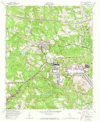
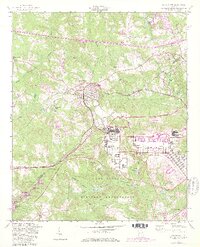
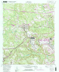
Editions of this 1957 Grovetown Map
4 editions found
Other maps of this area

1892 · Mc Cormick
USGS Topo · 1:125,000

1912 · Mc Cormick
USGS Topo · 1:125,000

1920 · Clarks Hill
USGS Topo · 1:48,000

1921 · Clarks Hill
USGS Topo · 1:62,500

1921 · Appling
USGS Topo · 1:62,500

1922 · Harlem
USGS Topo · 1:62,500

1922 · Hephzibah
USGS Topo · 1:62,500

1941 · Clarks Hill
USGS Topo · 1:62,500

1942 · Clarks Hill
USGS Topo · 1:62,500

1943 · Appling
USGS Topo · 1:62,500