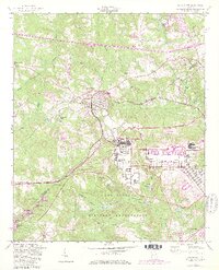
1957 Map of Grovetown
USGS Topo · Published 1981About this map
Grovetown stands as the central hub of this mid-century survey, positioned along the vital corridor of the Georgia Railroad. To the south, the extensive reach of the Fort Gordon Military Reservation dominates the landscape, characterized by numerous lakes and ponds such as Maxwell Lake, Signal Lake, and Whittimore Pond. The map reveals a community structured around early rural institutions, including the Jerusalem Ch, Mt Pleasant Ch, and Water Branch Ch, alongside numerous family-named burial sites like Hill Cem and Beale Cem. Purple revision markings illustrate the expansion of suburban residential tracts and new facilities within the military post during the late 1970s. The terrain is defined by the drainage of Uchee Creek and the Middle Fork Spirit Creek, showing the transition from agricultural land and forests to increased military and civil development in the Columbia Co and Richmond Co borderlands.
Find a feature on this map
47 named features on this map. Tap any name to fly to it.
Don’t see what you’re looking for? This feature index may not catch every label — zoom into the map to look around manually.
Map Details
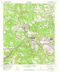
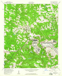
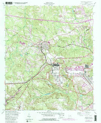
Editions of this 1957 Grovetown Map
4 editions found
Other maps of this area

1892 · Mc Cormick
USGS Topo · 1:125,000

1912 · Mc Cormick
USGS Topo · 1:125,000

1920 · Clarks Hill
USGS Topo · 1:48,000

1921 · Clarks Hill
USGS Topo · 1:62,500

1921 · Appling
USGS Topo · 1:62,500

1922 · Harlem
USGS Topo · 1:62,500

1922 · Hephzibah
USGS Topo · 1:62,500

1941 · Clarks Hill
USGS Topo · 1:62,500

1942 · Clarks Hill
USGS Topo · 1:62,500

1943 · Appling
USGS Topo · 1:62,500