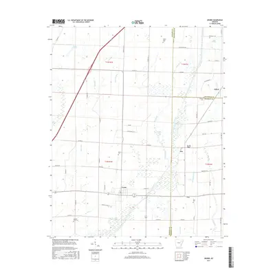
2017 Map of Grubbs
USGS Topo · Published 2017About this map
Grubbs sits at the heart of this agricultural landscape in eastern Arkansas, where the winding path of the Cache River and its intricate network of drainage ditches define the terrain. The map captures a transition of jurisdiction where Jackson, Craighead, and Poinsett counties meet. Settlement patterns are concentrated around small community hubs like Pitts, North Pitts, and Uno, while the rural outskirts are dotted with family and local landmarks such as Denton Island Cem and Sullins Cem.
Find a feature on this map
64 named features on this map. Tap any name to fly to it.
Don’t see what you’re looking for? This feature index may not catch every label — zoom into the map to look around manually.
Map Details
Editions of this 2017 Grubbs Map
This is the sole edition of this map. No revisions or reprints were ever made.
Other maps of this area
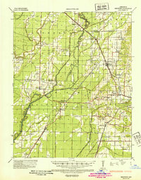
1935 · Sedgwick
USGS Topo · 1:62,500
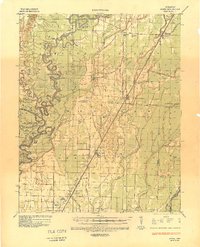
1935 · Alicia
USGS Topo · 1:62,500
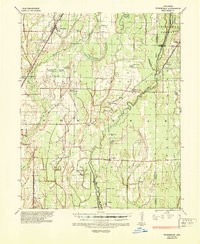
1935 · Tuckerman
USGS Topo · 1:62,500
1939 · Weiner
USGS Topo · 1:62,500

1953 · Memphis
USGS Topo · 1:250,000
1956 · Memphis
USGS Topo · 1:250,000
1959 · Weiner
USGS Topo · 1:62,500
1959 · Sedgwick
USGS Topo · 1:62,500
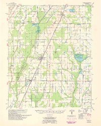
1960 · Weiner
USGS Topo · 1:62,500
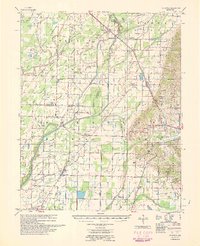
1960 · Sedgwick
USGS Topo · 1:62,500