
1892 Map of Grundy
USGS Topo · Published 1892About this map
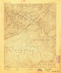
The Kentucky Virginia Boundary Line bisects this mountainous landscape, carving a diagonal through the heart of the coalfields in the late nineteenth century. In the Virginia section, Grundy serves as the seat of Buchanan County, while Clintwood anchors the Dickenson County area. This survey by Morris Bien and W.A. Shumway documents a rugged Appalachian interior defined by an intricate network of waterways like the Cranes Nest River and Slate Creek.
Find a feature on this map
83 named features on this map. Tap any name to fly to it.
Don’t see what you’re looking for? This feature index may not catch every label — zoom into the map to look around manually.
Map Details
Editions of this 1892 Grundy Map
4 editions found
Other maps of this area

1886 · Prestonsburg
USGS Topo · 1:125,000

1886 · Grundy
USGS Topo · 1:125,000

1887 · Warfield
USGS Topo · 1:125,000

1890 · Whitesburg
USGS Topo · 1:125,000

1890 · Grundy
USGS Topo · 1:125,000

1891 · Tazewell
USGS Topo · 1:125,000

1891 · Oceana
USGS Topo · 1:125,000

1891 · Abingdon
USGS Topo · 1:125,000

1891 · Warfield
USGS Topo · 1:125,000

1892 · Whitesburg
USGS Topo · 1:125,000