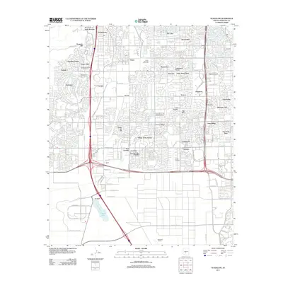
2011 Map of Guadalupe
USGS Topo · Published 2011About this map
The town of Guadalupe and the surrounding suburban expansion of Phoenix define this 2011 survey, showing a landscape of densely planned neighborhoods and vital transportation corridors. The map details a transition from the industrial legacy of the Kyrene Gin to a modern residential and commercial hub. Key community landmarks include the Ottawa University Tempe Campus and several regional amenities like the Tempe Municipal Golf Course and Stellar Airpark.
Find a feature on this map
112 named features on this map. Tap any name to fly to it.
Don’t see what you’re looking for? This feature index may not catch every label — zoom into the map to look around manually.
Map Details
Editions of this 2011 Guadalupe Map
This is the sole edition of this map. No revisions or reprints were ever made.
Other maps of this area

1912 · Phoenix
USGS Topo · 1:62,500

1913 · Mesa
USGS Topo · 1:62,500

1913 · Maricopa
USGS Topo · 1:62,500

1914 · Gila Butte
USGS Topo · 1:62,500

1914 · Phoenix
USGS Topo · 1:62,500

1915 · Mesa
USGS Topo · 1:62,500

1915 · Maricopa
USGS Topo · 1:62,500

1917 · Gila Butte
USGS Topo · 1:62,500

1952 · Tempe
USGS Topo · 1:24,000

1952 · Chandler
USGS Topo · 1:24,000