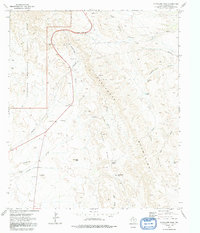
1973 Map of Guadalupe Pass
USGS Topo · Published 1991About this map
Guadalupe Pass serves as the primary corridor through this high-altitude landscape, where the Guadalupe Mountains National Park meets the Delaware Mountains. The map reveals a land defined by its geology and scarce water, from the winding course of the Delaware River to specialized landmarks like Patterson Pothole and Big Piñon Tank.
Find a feature on this map
31 named features on this map. Tap any name to fly to it.
Don’t see what you’re looking for? This feature index may not catch every label — zoom into the map to look around manually.
Map Details
Editions of this 1973 Guadalupe Pass Map
2 editions found
Other maps of this area

1933 · Guadalupe Peak
USGS Topo · 1:48,000

1940 · Guadalupe Peak
USGS Topo · 1:62,500

1954 · Van Horn
USGS Topo · 1:250,000

1958 · Van Horn
USGS Topo · 1:250,000

1973 · Bitter Well Mountain NW
USGS Topo · 1:24,000
1973 · Long Point
USGS Topo · 1:24,000
1973 · Patterson Hills
USGS Topo · 1:24,000
1973 · Six Bar Ranch
USGS Topo · 1:24,000
1973 · Chico Draw West
USGS Topo · 1:24,000
1973 · Independence Spring
USGS Topo · 1:24,000