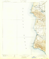
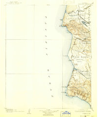
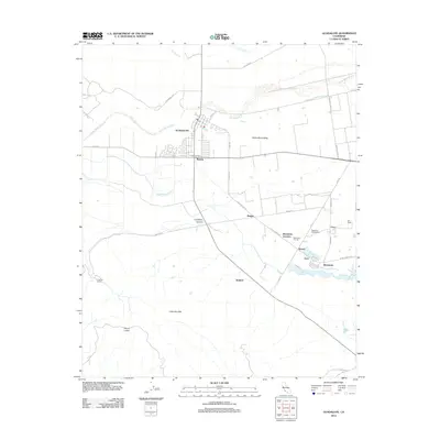
1905 Map of Guadalupe
USGS Topo · Published 1942About this map
The Santa Maria Valley and the central California coastline dominate this early century survey, showing the region's transition from Mexican land grant ranchos to a rail-dependent agricultural economy. The Southern Pacific R R hugs the coastline, connecting small stations and sidings like Surf and Tangair, while the Santa Maria Valley R R serves the sugar beet industry centered at Betteravia and the town of Guadalupe. The geography is defined by coastal features such as Purisima Pt and Point Sal, where maritime activity is noted at Pt Sal Landing. Inland, the landscape rises into the Casmalia Hills and the northern reach of the Santa Ynez Mountains. Researchers can trace the massive land tracts of Jesus Maria and Todos Santos, illustrating the enduring legacy of the Spanish and Mexican era partitions prior to modern subdivision.
Find a feature on this map
58 named features on this map. Tap any name to fly to it.
Don’t see what you’re looking for? This feature index may not catch every label — zoom into the map to look around manually.
Map Details
Editions of this 1905 Guadalupe Map
6 editions found

Historical Maps of Santa Maria Through Time
8 maps found
1905 Guadalupe
Santa Barbara County, CA
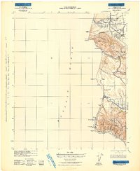
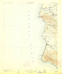
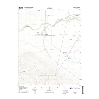
1942 Guadalupe
Santa Barbara County, CA
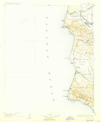
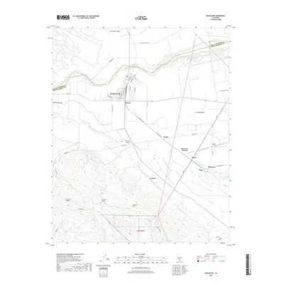
1947 Guadalupe
Santa Barbara County, CA
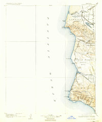
1959 Guadalupe
Santa Barbara County, CA
2012 Guadalupe
Santa Barbara County, CA
2015 Guadalupe
Santa Barbara County, CA
2018 Guadalupe
Santa Barbara County, CA
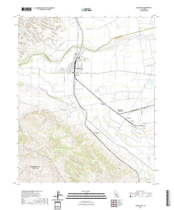
2021 Guadalupe
Santa Barbara County, CA