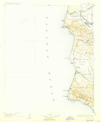
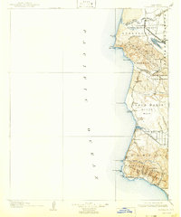
1905 Map of Guadalupe
USGS Topo · Published 1927About this map
The Santa Maria Valley and the coastal reaches of northern Santa Barbara County are defined by a complex network of ranchos and early rail infrastructure at the turn of the century. Large land grants including Jesus Maria, Todos Santos y San Antonio, and Guadalupe organize the landscape, while the Southern Pacific R R and the Pacific Coast R R facilitate the movement of goods from the interior to the sea. Notable coastal operations like Lompoc Landing and Pt Sal Landing emphasize the maritime commerce of the era, predating the more modern developments of the coast. Inland, the sugar beet industry centers around Betteravia, connected by the S P R R Betteravia Branch. The map also traces the drainage of the Santa Ynez River as it meets the Pacific Ocean near Surf.
Find a feature on this map
60 named features on this map. Tap any name to fly to it.
Don’t see what you’re looking for? This feature index may not catch every label — zoom into the map to look around manually.
Map Details
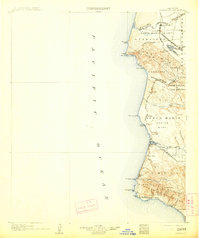
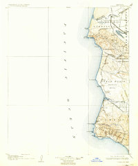
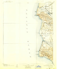
Editions of this 1905 Guadalupe Map
6 editions found
Other maps of this area

1897 · Port Harford
USGS Topo · 1:62,500

1897 · Arroyo Grande
USGS Topo · 1:62,500

1900 · San Luis
USGS Topo · 1:125,000

1905 · Guadalupe
USGS Topo · 1:125,000

1905 · Lompoc
USGS Topo · 1:125,000

1922 · Nipomo
USGS Topo · 1:62,500

1941 · Port San Luis
USGS Topo · 1:62,500

1942 · Point Arguello
USGS Topo · 1:62,500

1942 · Guadalupe
USGS Topo · 1:125,000

1942 · Lompoc
USGS Topo · 1:125,000