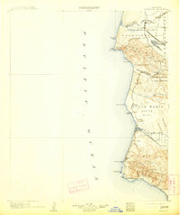
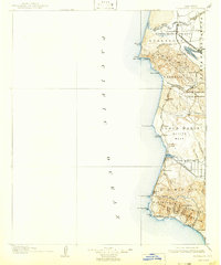
1905 Map of Guadalupe
USGS Topo · Published 1913About this map
The Santa Maria Valley and the central California coastline dominate this 1905 survey, illustrating a landscape defined by the arrival of major rail networks. At the northern edge, the settlement of Guadalupe and the industrial hub of Betteravia are connected by the S P R R (Betteravia Branch) and the Pacific Coast Railway, signaling the agricultural and commercial importance of the river flats. Moving south along the coast, the Southern Pacific R R snakes through the hills and canyons, passing through stops like Casmalia, Surf, and Honda.
Find a feature on this map
62 named features on this map. Tap any name to fly to it.
Don’t see what you’re looking for? This feature index may not catch every label — zoom into the map to look around manually.
Map Details
Editions of this 1905 Guadalupe Map
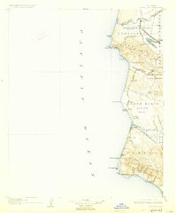
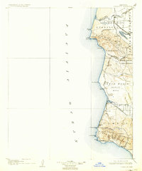
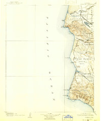
6 editions found
Other maps of this area

1897 · Port Harford
USGS Topo · 1:62,500

1897 · Arroyo Grande
USGS Topo · 1:62,500

1900 · San Luis
USGS Topo · 1:125,000

1905 · Guadalupe
USGS Topo · 1:125,000

1905 · Lompoc
USGS Topo · 1:125,000

1922 · Nipomo
USGS Topo · 1:62,500

1941 · Port San Luis
USGS Topo · 1:62,500

1942 · Point Arguello
USGS Topo · 1:62,500

1942 · Guadalupe
USGS Topo · 1:125,000

1942 · Lompoc
USGS Topo · 1:125,000