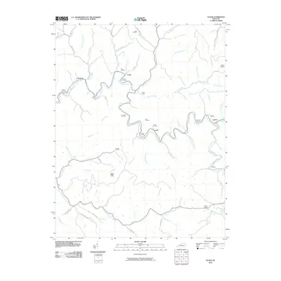
2010 Map of Guage
USGS Topo · Published 2010About this map
Quicksand Creek winds through this section of the Kentucky coalfields, serving as the primary drainage for a network of hollows and family-named cemeteries. Small rural settlements like Guage, Lunah, and Rousseau anchor the creek valleys, connected by winding routes such as Hunting Creek Rd and Lambrick Rd. The landscape is defined by its extensive network of watercourses, including Little Caney Creek and Big Caney Creek, which have shaped the settlement patterns for generations.
Find a feature on this map
76 named features on this map. Tap any name to fly to it.
Don’t see what you’re looking for? This feature index may not catch every label — zoom into the map to look around manually.
Map Details
Editions of this 2010 Guage Map
This is the sole edition of this map. No revisions or reprints were ever made.
Other maps of this area

1889 · Salyersville
USGS Topo · 1:125,000

1891 · Hazard
USGS Topo · 1:125,000

1891 · Salyersville
USGS Topo · 1:125,000

1899 · Salyersville
USGS Topo · 1:125,000

1913 · Buckhorn
USGS Topo · 1:62,500

1914 · Troublesome
USGS Topo · 1:62,500

1951 · Tiptop
USGS Topo · 1:24,000

1951 · Guage
USGS Topo · 1:24,000

1951 · Seitz
USGS Topo · 1:24,000

1951 · Quicksand
USGS Topo · 1:24,000