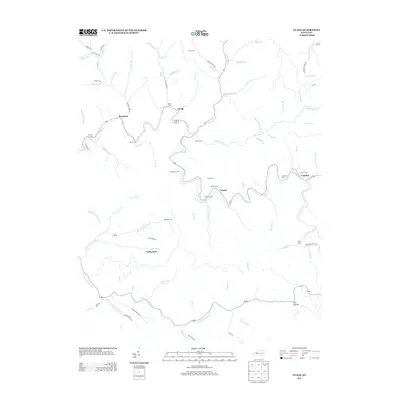
2013 Map of Guage
USGS Topo · Published 2013About this map
Quicksand Creek and its many winding tributaries define the rugged landscape of this Breathitt County interior, where early 21st-century settlements follow the narrow valley floors. Small communities like Lambric, Guage, and Rousseau are connected by a network of rural routes such as Richie Branch Road and Leatherwood Road. The map reveals a dense distribution of family burial grounds, including the Shack Allen Cemetery, McQuinn Cemetery, and Crafts Cemetery, which speak to the deep genealogical roots in this part of Kentucky.
Find a feature on this map
82 named features on this map. Tap any name to fly to it.
Don’t see what you’re looking for? This feature index may not catch every label — zoom into the map to look around manually.
Map Details
Editions of this 2013 Guage Map
This is the sole edition of this map. No revisions or reprints were ever made.
Other maps of this area

1889 · Salyersville
USGS Topo · 1:125,000

1891 · Hazard
USGS Topo · 1:125,000

1891 · Salyersville
USGS Topo · 1:125,000

1899 · Salyersville
USGS Topo · 1:125,000

1913 · Buckhorn
USGS Topo · 1:62,500

1914 · Troublesome
USGS Topo · 1:62,500

1951 · Tiptop
USGS Topo · 1:24,000

1951 · Guage
USGS Topo · 1:24,000

1951 · Seitz
USGS Topo · 1:24,000

1951 · Quicksand
USGS Topo · 1:24,000