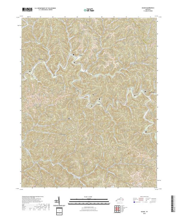
2022 Map of Guage
USGS Topo · Published 2022About this map
The mountain settlements of Rousseau, Guage, and Lunah define this portion of the Cumberland Plateau, where the landscape is deeply etched by a complex drainage network. The headwaters and tributaries of Quicksand Creek dominate the topography, including Steer Fork, Sulphur Springs Fork, and Hunting Creek. This modern survey reveals a social geography rooted in small, family-associated landmarks. Numerous cemeteries, such as Calhoun Cem, McQuinn Cem, and Risner Cem, are situated on the narrow ridges and hillsides above the valley floors. The road network, featuring Quicksand Creek Rd and State Hwy 1098, follows the winding paths of the watercourses, illustrating how the terrain continues to dictate the patterns of transit and settlement across the Breathitt Co and Magoffin Co border.
Find a feature on this map
71 named features on this map. Tap any name to fly to it.
Don’t see what you’re looking for? This feature index may not catch every label — zoom into the map to look around manually.
Map Details
Editions of this 2022 Guage Map
This is the sole edition of this map. No revisions or reprints were ever made.
Other maps of this area

1889 · Salyersville
USGS Topo · 1:125,000

1891 · Hazard
USGS Topo · 1:125,000

1891 · Salyersville
USGS Topo · 1:125,000

1899 · Salyersville
USGS Topo · 1:125,000

1913 · Buckhorn
USGS Topo · 1:62,500

1914 · Troublesome
USGS Topo · 1:62,500

1951 · Tiptop
USGS Topo · 1:24,000

1951 · Guage
USGS Topo · 1:24,000

1951 · Seitz
USGS Topo · 1:24,000

1951 · Quicksand
USGS Topo · 1:24,000