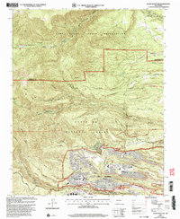
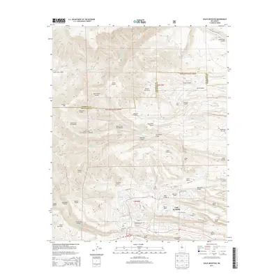
2002 Map of Guaje Mountain
USGS Topo · Published 2003About this map
The Los Alamos National Laboratory and its adjacent scientific community dominate this landscape, illustrating the complex geography of research facilities and residential expansion at the start of the 21st century. High-altitude mesas such as Barranca Mesa and North Mesa support the local infrastructure, including Los Alamos High School and the University of New Mexico Los Alamos campus. The built environment is sharply defined by the surrounding canyons and plateaus, with Otowi Mesa and Kwage Mesa flanking the developed corridors.
Find a feature on this map
45 named features on this map. Tap any name to fly to it.
Don’t see what you’re looking for? This feature index may not catch every label — zoom into the map to look around manually.
Map Details
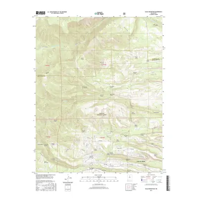
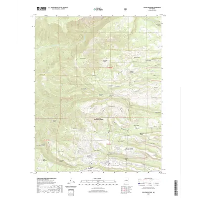
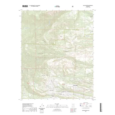
Editions of this 2002 Guaje Mountain Map
This is the sole edition of this map. No revisions or reprints were ever made.
Historical Maps of Los Alamos Through Time
8 maps found
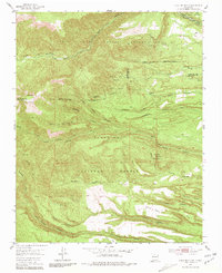
1952 Guaje Mountain
Los Alamos County, NM
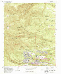
1984 Guaje Mountain
Los Alamos County, NM
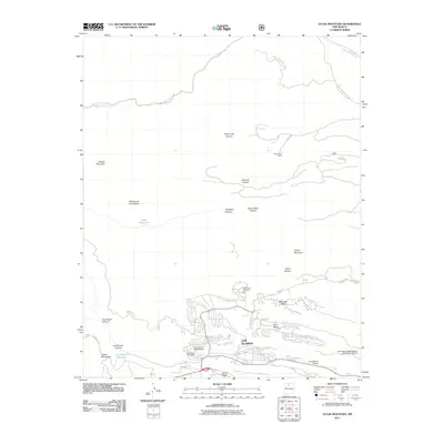
2002 Guaje Mountain
Los Alamos County, NM
2011 Guaje Mountain
Los Alamos County, NM
2013 Guaje Mountain
Los Alamos County, NM
2017 Guaje Mountain
Los Alamos County, NM
2020 Guaje Mountain
Los Alamos County, NM
2023 Guaje Mountain
Los Alamos County, NM