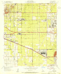
1953 Map of Guasti
USGS Topo · Published 1955About this map
Agricultural roots meet industrial expansion on this mid-century survey of the Inland Empire. The landscape is punctuated by the transition from viticulture, evidenced by the Cucamonga Winery (Historical Landmark) and the smaller Winery nearby, to heavy industry and defense. The massive Kaiser Steel Plant dominates the eastern section, while the Ontario International Airport and California Air Nat'l Guard facilities signal the region's increasing strategic importance.
Find a feature on this map
41 named features on this map. Tap any name to fly to it.
Don’t see what you’re looking for? This feature index may not catch every label — zoom into the map to look around manually.
Map Details
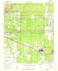
Editions of this 1953 Guasti Map
2 editions found
Other maps of this area

1896 · San Bernardino
USGS Topo · 1:62,500

1897 · Cucamonga
USGS Topo · 1:62,500

1898 · San Bernardino
USGS Topo · 1:62,500

1900 · Cucamonga
USGS Topo · 1:62,500

1901 · Southern California Sheet No. 1
USGS Topo · 1:250,000

1901 · San Bernardino
USGS Topo · 1:62,500

1901 · Elsinore
USGS Topo · 1:125,000

1901 · Riverside
USGS Topo · 1:62,500

1902 · Corona
USGS Topo · 1:125,000

1903 · Cucamonga
USGS Topo · 1:62,500