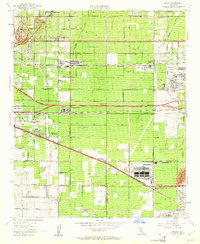
1953 Map of Guasti
USGS Topo · Published 1961About this map
Agricultural tradition meets heavy industrialization in this mid-century portrait of the San Bernardino Valley. The landscape is dominated by the massive Kaiser Steel Plant and the Mira Loma Quartermaster Depot, signifying the region's vital role in post-war production and logistics. Despite this industrial shift, the area's viticultural roots remain visible at the Cucamonga Winery and the community of Guasti, surrounded by an extensive network of vineyards and orchards.
Find a feature on this map
46 named features on this map. Tap any name to fly to it.
Don’t see what you’re looking for? This feature index may not catch every label — zoom into the map to look around manually.
Map Details
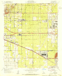
Editions of this 1953 Guasti Map
2 editions found
Other maps of this area

1896 · San Bernardino
USGS Topo · 1:62,500

1897 · Cucamonga
USGS Topo · 1:62,500

1898 · San Bernardino
USGS Topo · 1:62,500

1900 · Cucamonga
USGS Topo · 1:62,500

1901 · Southern California Sheet No. 1
USGS Topo · 1:250,000

1901 · San Bernardino
USGS Topo · 1:62,500

1901 · Elsinore
USGS Topo · 1:125,000

1901 · Riverside
USGS Topo · 1:62,500

1902 · Corona
USGS Topo · 1:125,000

1903 · Cucamonga
USGS Topo · 1:62,500