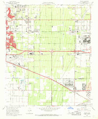
1966 Map of Guasti
USGS Topo · Published 1969About this map
The Cucamonga Winery (Historical Landmark) and the nearby John Rains House anchor the northern reaches of this mid-century survey, illustrating the deep agricultural and residential roots of the Inland Empire. The landscape is a complex grid of citrus groves and vineyards increasingly defined by heavy industry and aviation, centered on the Ontario International Airport and the expansive Steel Plant near Kaiser. These industrial hubs are supported by a dense rail network including the Southern Pacific, Union Pacific, and the Atchison Topeka and Santa Fe railroads.
Find a feature on this map
73 named features on this map. Tap any name to fly to it.
Don’t see what you’re looking for? This feature index may not catch every label — zoom into the map to look around manually.
Map Details
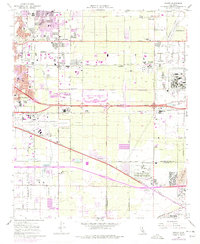
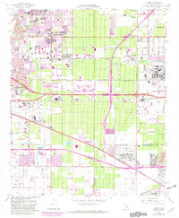
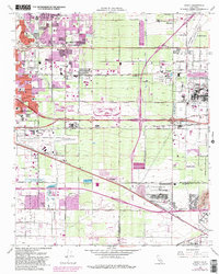
Editions of this 1966 Guasti Map
4 editions found
Other maps of this area

1896 · San Bernardino
USGS Topo · 1:62,500

1897 · Cucamonga
USGS Topo · 1:62,500

1898 · San Bernardino
USGS Topo · 1:62,500

1900 · Cucamonga
USGS Topo · 1:62,500

1901 · Southern California Sheet No. 1
USGS Topo · 1:250,000

1901 · San Bernardino
USGS Topo · 1:62,500

1901 · Elsinore
USGS Topo · 1:125,000

1901 · Riverside
USGS Topo · 1:62,500

1902 · Corona
USGS Topo · 1:125,000

1903 · Cucamonga
USGS Topo · 1:62,500