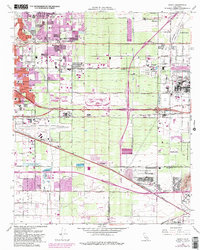
1966 Map of Guasti
USGS Topo · Published 1982About this map
Rancho Cucamonga and the surrounding agricultural and industrial corridor of San Bernardino County are captured during a period of rapid development. The map prominently features the Ontario Motor Speedway and the massive Steel Plant in Fontana, illustrating the area's transition toward large-scale infrastructure. Agricultural roots remain visible through the Cucamonga Winery and the sprawling vineyards that once defined the landscape near Guasti. Transportation networks dominate the terrain, from the legacy of the Pacific Electric and Southern Pacific railroads to the expanding San Bernardino Freeway. In the northern section, the residential growth of Alta Loma and Etiwanda spreads toward the base of the mountains, while the Ontario International Airport occupies a significant portion of the valley floor, highlighting the region's importance as a logistics and transit hub.
Find a feature on this map
43 named features on this map. Tap any name to fly to it.
Don’t see what you’re looking for? This feature index may not catch every label — zoom into the map to look around manually.
Map Details
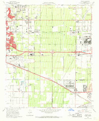
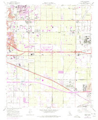
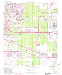
Editions of this 1966 Guasti Map
4 editions found
Other maps of this area

1896 · San Bernardino
USGS Topo · 1:62,500

1897 · Cucamonga
USGS Topo · 1:62,500

1898 · San Bernardino
USGS Topo · 1:62,500

1900 · Cucamonga
USGS Topo · 1:62,500

1901 · Southern California Sheet No. 1
USGS Topo · 1:250,000

1901 · San Bernardino
USGS Topo · 1:62,500

1901 · Elsinore
USGS Topo · 1:125,000

1901 · Riverside
USGS Topo · 1:62,500

1902 · Corona
USGS Topo · 1:125,000

1903 · Cucamonga
USGS Topo · 1:62,500