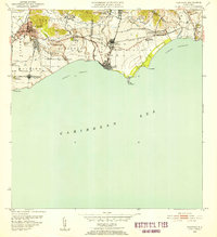
1952 Map of Guayama
USGS Topo · Published 1953About this map
The sugar economy of mid-century Puerto Rico is on full display across this coastal landscape, where the agricultural and industrial infrastructure of the southern shore is meticulously documented. The regional centers of Guayama and Arroyo anchor a terrain dominated by large-scale production, evidenced by the presence of Central Machete and Central Lafayette. Irrigation and water management are prominent, with the Canal de Guamani Oeste and Canal de Guamani Este cutting through the foothills to serve the sprawling colonias. Genealogists and historians can trace numerous named worker settlements and estates, including Colonia Vives, Colonia Santa Elena, and Hacienda Felicia. Along the coast, the Faro Pta Figuras lighthouse stands as a vital maritime landmark near the waters of Puerto Arroyo.
Find a feature on this map
51 named features on this map. Tap any name to fly to it.
Don’t see what you’re looking for? This feature index may not catch every label — zoom into the map to look around manually.
Map Details
Editions of this 1952 Guayama Map
2 editions found
Other maps of this area

1945 · Punta Tuna
USGS Topo · 1:30,000

1945 · Central Aguirre
USGS Topo · 1:30,000

1946 · Patillas
USGS Topo · 1:30,000

1946 · Cayey
USGS Topo · 1:30,000

1946 · Yabucoa
USGS Topo · 1:30,000

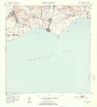
1946 · Guayama
USGS Topo · 1:30,000

1947 · Yabucoa SO
USGS Topo · 1:10,000

1947 · Patillas SO
USGS Topo · 1:10,000
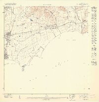
1947 · Guayama NE
USGS Topo · 1:10,000
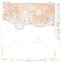
1947 · Punta Tuna NO
USGS Topo · 1:10,000