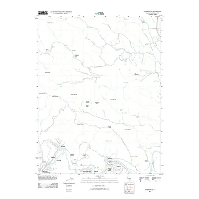
2012 Map of Guerneville
USGS Topo · Published 2012About this map
The Russian River winds through the heart of this Sonoma County landscape, anchoring a series of riverside communities including Guerneville, Rio Nido, Korbel, and Hilton. The map reflects the region's deep-rooted viticulture, specifically marking the Korbel Winery, Davis Bynum Winery, and Mill Creek Vineyards. To the north and south, the terrain rises sharply into ridges and canyons, such as Mount Jackson and Black Mountain, where small mountain roads and ridges like Gilder Ridge and Scotts Ridge define the local geography. Pockets of civic history are visible in the placement of the Daniels School and Lafayette School, as well as the McPeak Cem. Recreational spaces like Odd Fellows Park and Redwood Memorial Gardens highlight the area's long-standing appeal as a retreat, while the Guerneville Bridge serves as a vital connection point for the valley's transit network along River Rd.
Find a feature on this map
96 named features on this map. Tap any name to fly to it.
Don’t see what you’re looking for? This feature index may not catch every label — zoom into the map to look around manually.
Map Details
Editions of this 2012 Guerneville Map
This is the sole edition of this map. No revisions or reprints were ever made.
Other maps of this area

1920 · Healdsburg
USGS Topo · 1:62,500

1921 · Skaggs
USGS Topo · 1:62,500

1933 · Healdsburg
USGS Topo · 1:48,000

1935 · Sebastopol
USGS Topo · 1:48,000

1940 · Healdsburg
USGS Topo · 1:62,500

1942 · Sebastopol
USGS Topo · 1:62,500

1943 · Cazadero
USGS Topo · 1:24,000

1943 · Duncans Mills
USGS Topo · 1:24,000

1943 · Skaggs Springs
USGS Topo · 1:24,000

1944 · Skaggs Springs
USGS Topo · 1:31,680