
2018 Map of Guernsey
USGS Topo · Published 2018About this map
Guernsey sits at the intersection of agricultural ingenuity and historical topography in this 2018 survey of the San Joaquin Valley. The landscape is defined by an intricate network of water management features, reflecting over a century of irrigation development in the Central Valley. Historic natural features like Mussel Slough, Jacobs Slough, and Lone Oak Slough are interwoven with man-made infrastructure such as the Tulare Lake Canal and New Deal Canal. The grid of the township system, including segments of t19s r21e and t20s r21e, organizes the territory, while the Santa Fe Ave corridor provides a clear transit axis through the heart of the region. This document captures the modern state of these critical water systems, from the Independent Ditch to Cross Creek, which sustain the local economy.
Find a feature on this map
42 named features on this map. Tap any name to fly to it.
Don’t see what you’re looking for? This feature index may not catch every label — zoom into the map to look around manually.
Map Details
Editions of this 2018 Guernsey Map
This is the sole edition of this map. No revisions or reprints were ever made.
Other maps of this area
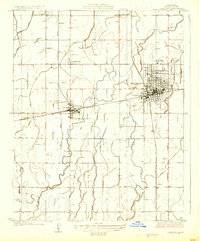
1926 · Hanford
USGS Topo · 1:31,680
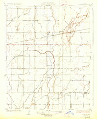
1927 · Remnoy
USGS Topo · 1:31,680
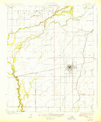
1927 · Lemoore
USGS Topo · 1:31,680
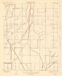
1928 · Waukena
USGS Topo · 1:31,680
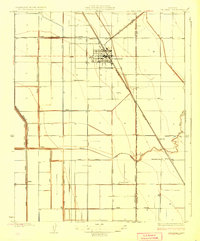
1928 · Corcoran
USGS Topo · 1:31,680
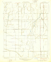
1929 · Guernsey
USGS Topo · 1:31,680
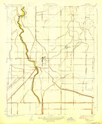
1929 · Stratford
USGS Topo · 1:31,680
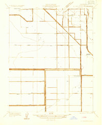
1932 · El Rico Ranch
USGS Topo · 1:31,680
1933 · Chatom Ranch
USGS Topo · 1:31,680
1935 · Chatom Ranch
USGS Topo · 1:31,680