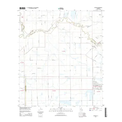
2015 Map of Gueydan
USGS Topo · Published 2015About this map
Gueydan serves as the focal point of this Vermilion Parish landscape, where the agricultural grid of Southwest Louisiana meets an intricate network of drainage and transport waterways. The meandering course of Bayou Queue De Tortue defines the boundaries between Acadia, Jefferson Davis, and Vermilion parishes, eventually joining the Mermentau River at the western edge of the quadrangle. This area is characterized by large-scale rice farming, evidenced by the numerous irrigation canals like Lazy Point Canal and Moon Island Canal. Smaller rural settlements such as Riceville and Morse are situated along the transit lines, while landmarks like Istre Cem and the Venissat Airstrip provide specific touchpoints for local history and genealogy. The map captures the highly managed water systems necessary for the region's productive agricultural economy during the early 21st century.
Find a feature on this map
95 named features on this map. Tap any name to fly to it.
Don’t see what you’re looking for? This feature index may not catch every label — zoom into the map to look around manually.
Map Details
Editions of this 2015 Gueydan Map
This is the sole edition of this map. No revisions or reprints were ever made.
Other maps of this area
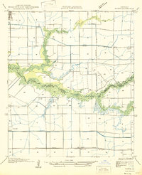
1946 · Morse
USGS Topo · 1:31,680
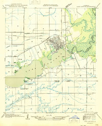
1946 · Lake Arthur
USGS Topo · 1:31,680
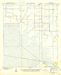
1946 · Schooner Bayou NW
USGS Topo · 1:31,680
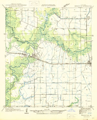
1946 · Mermentau
USGS Topo · 1:31,680
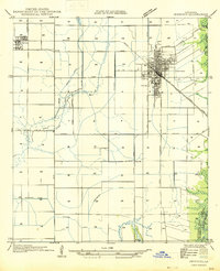
1946 · Jennings
USGS Topo · 1:31,680
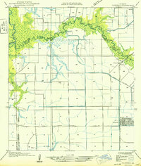
1949 · Gueydan
USGS Topo · 1:31,680
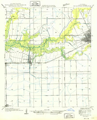
1949 · Estherwood
USGS Topo · 1:31,680

1952 · Lake Charles
USGS Topo · 1:250,000
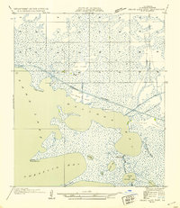
1954 · Grand Lake East NW
USGS Topo · 1:31,680
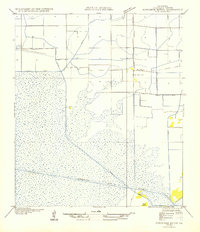
1954 · Schooner Bayou NW
USGS Topo · 1:31,680