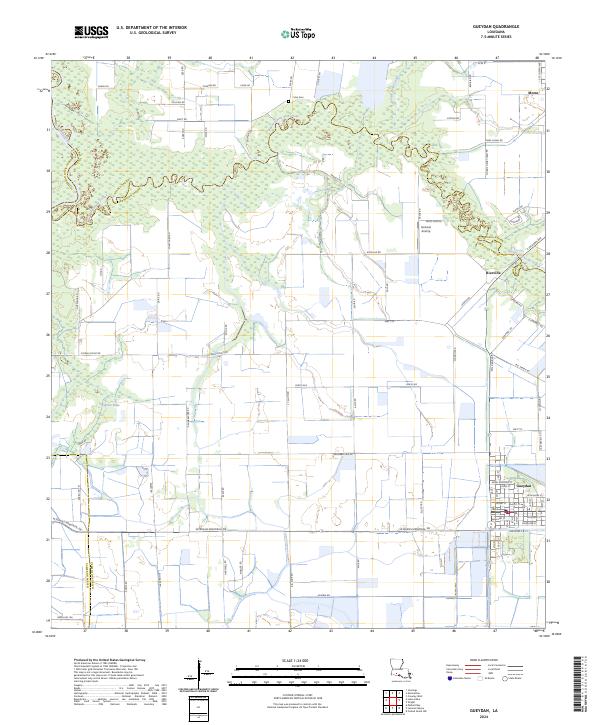
2024 Map of Gueydan
USGS Topo · Published 2024About this map
Gueydan serves as the focal point of this coastal prairie landscape, where the intersections of Acadia, Jefferson Davis, and Vermilion parishes meet. The area is defined by the winding course of Bayou Queue de Tortue, which carves a complex riparian border through the agricultural fields and wetlands. This waterway, along with the Mermentau River and Moon Island Canal, illustrates the critical role of water management and transport in a region traditionally dominated by rice farming and drainage engineering.
Find a feature on this map
124 named features on this map. Tap any name to fly to it.
Don’t see what you’re looking for? This feature index may not catch every label — zoom into the map to look around manually.
Map Details
Editions of this 2024 Gueydan Map
This is the sole edition of this map. No revisions or reprints were ever made.
Other maps of this area

1946 · Morse
USGS Topo · 1:31,680

1946 · Lake Arthur
USGS Topo · 1:31,680

1946 · Schooner Bayou NW
USGS Topo · 1:31,680

1946 · Mermentau
USGS Topo · 1:31,680

1946 · Jennings
USGS Topo · 1:31,680

1949 · Gueydan
USGS Topo · 1:31,680

1949 · Estherwood
USGS Topo · 1:31,680

1952 · Lake Charles
USGS Topo · 1:250,000

1954 · Grand Lake East NW
USGS Topo · 1:31,680
1954 · Schooner Bayou NW
USGS Topo · 1:31,680