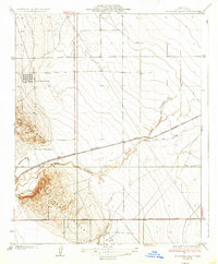
1937 Map of Guijarral Hills
USGS Topo · Published 1937About this map
Guijarral Hills and Kettleman Ridge define the industrial and agricultural landscape of this Fresno County region during the mid-1930s. The map illustrates a critical infrastructure hub for the California oil industry, centered around the Oil Tank Farm and the Caliola Pumping Sta. This development is positioned near the rail-and-water corridors where the Southern Pacific tracks run parallel to the winding course of the Arroyo Pasajero.
Find a feature on this map
11 named features on this map. Tap any name to fly to it.
Don’t see what you’re looking for? This feature index may not catch every label — zoom into the map to look around manually.
Map Details
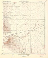
Editions of this 1937 Guijarral Hills Map
2 editions found
Other maps of this area

1912 · Coalinga
USGS Topo · 1:125,000

1928 · Delta Farms No 3
USGS Topo · 1:31,680

1930 · Discovery Well
USGS Topo · 1:31,680

1930 · Canoas Creek
USGS Topo · 1:31,680

1932 · Delta Farms
USGS Topo · 1:31,680

1932 · West of Lethent
USGS Topo · 1:31,680

1933 · Huron
USGS Topo · 1:31,680

1933 · Guijarral Hills
USGS Topo · 1:31,680
1934 · La Cima
USGS Topo · 1:31,680

1934 · Canoas Creek
USGS Topo · 1:31,680