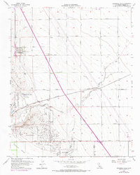
1956 Map of Guijarral Hills
USGS Topo · Published 1972About this map
Anticline Ridge and the Guijarral Hills dominate this mid-century view of Fresno County, a landscape defined by industrial expansion and large-scale agricultural operations. The extensive Oil Field and its accompanying Oil Field Extension are marked by a dense network of wells and sumps, supported by the Caliola Pumping Station. This industrial activity is woven into a grid of long agricultural avenues like Mitchell Avenue and Gale Avenue, where the Southern Pacific railroad served the rural community of Turk and the local Cotton Gin.
Find a feature on this map
31 named features on this map. Tap any name to fly to it.
Don’t see what you’re looking for? This feature index may not catch every label — zoom into the map to look around manually.
Map Details
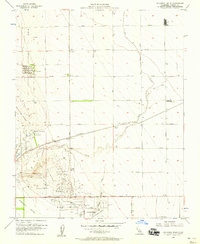
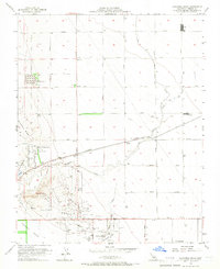
Editions of this 1956 Guijarral Hills Map
3 editions found
Other maps of this area

1912 · Coalinga
USGS Topo · 1:125,000

1928 · Delta Farms No 3
USGS Topo · 1:31,680

1930 · Discovery Well
USGS Topo · 1:31,680

1930 · Canoas Creek
USGS Topo · 1:31,680

1932 · Delta Farms
USGS Topo · 1:31,680

1932 · West of Lethent
USGS Topo · 1:31,680

1933 · Huron
USGS Topo · 1:31,680

1933 · Guijarral Hills
USGS Topo · 1:31,680
1934 · La Cima
USGS Topo · 1:31,680

1934 · Canoas Creek
USGS Topo · 1:31,680