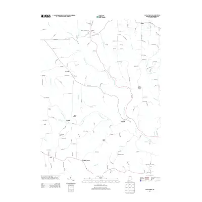
2013 Map of Guilford
USGS Topo · Published 2013About this map
Guilford sits at the confluence of the E Fork Tanners Cr and the W Fork Tanners Cr, forming the main stem of Tanners Cr that flows southeast toward the Ohio River. This 2013 survey reveals a landscape deeply incised by these waterways, creating a series of prominent high-ground formations including Devils Backbone, Sawdon Ridge, and Mount Pleasant Ridge. Rural settlements like Dover, Logan, and Bonnell are connected by a network of winding roads such as N Dearborn Rd and Possum Ridge Rd that follow the natural topography of the Dearborn County hills. To the southwest, Wrights Corner and Kyle anchor the upland plateaus, while the Kimberly Lake Dam provides a rare point of managed water in a region otherwise defined by the dendritic drainage of Turkey Run and Mud Lick Cr.
Find a feature on this map
143 named features on this map. Tap any name to fly to it.
Don’t see what you’re looking for? This feature index may not catch every label — zoom into the map to look around manually.
Map Details
Editions of this 2013 Guilford Map
This is the sole edition of this map. No revisions or reprints were ever made.
Other maps of this area

1915 · Lawrenceburg
USGS Topo · 1:48,000

1915 · Harrison
USGS Topo · 1:48,000

1928 · Lawrenceburg
USGS Topo · 1:62,500

1932 · Lawrenceburg
USGS Topo · 1:62,500

1943 · Aurora
USGS Topo · 1:24,000

1943 · Hooven
USGS Topo · 1:24,000

1943 · Guilford
USGS Topo · 1:24,000

1943 · Lawrenceburg
USGS Topo · 1:24,000

1953 · Aurora
USGS Topo · 1:24,000

1953 · Guilford
USGS Topo · 1:24,000