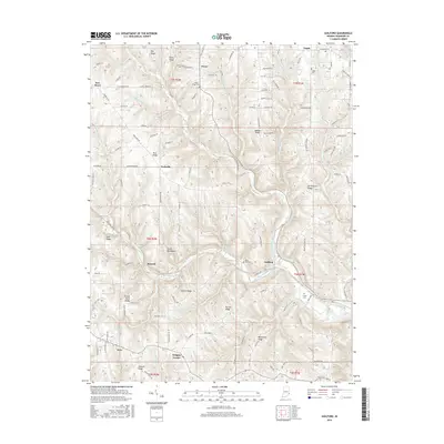
2016 Map of Guilford
USGS Topo · Published 2016About this map
The branching drainages of Tanners Creek and its tributaries, such as West Fork Tanners Creek and E Fork Tanners Creek, define the topography of this Dearborn County landscape. Small rural communities including Guilford, Yorkville, and New Alsace are connected by a network of ridge-top roads and valley routes, reflecting a settlement pattern dictated by the winding watercourses and steep elevations. Several family and community burial grounds, such as the Huber - Briggs Cem and Pelley Cem, provide important markers for local genealogical research.
Find a feature on this map
127 named features on this map. Tap any name to fly to it.
Don’t see what you’re looking for? This feature index may not catch every label — zoom into the map to look around manually.
Map Details
Editions of this 2016 Guilford Map
This is the sole edition of this map. No revisions or reprints were ever made.
Other maps of this area

1915 · Lawrenceburg
USGS Topo · 1:48,000

1915 · Harrison
USGS Topo · 1:48,000

1928 · Lawrenceburg
USGS Topo · 1:62,500

1932 · Lawrenceburg
USGS Topo · 1:62,500

1943 · Aurora
USGS Topo · 1:24,000

1943 · Hooven
USGS Topo · 1:24,000

1943 · Guilford
USGS Topo · 1:24,000

1943 · Lawrenceburg
USGS Topo · 1:24,000

1953 · Aurora
USGS Topo · 1:24,000

1953 · Guilford
USGS Topo · 1:24,000