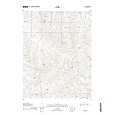
2019 Map of Guilford
USGS Topo · Published 2019About this map
Lawrenceburg and Greendale anchor the southeastern corner of this Dearborn County landscape, where the Ohio River valley meets the dissected uplands of southern Indiana. The terrain is defined by a dense network of ridges and creek systems, including the prominent Devils Backbone and Sutton Ridge. These landforms dictate the placement of historic settlements and transport routes, with winding roads following the crests of York Ridge and Sawdon Ridge to connect smaller communities like Yorkville and New Alsace.
Find a feature on this map
132 named features on this map. Tap any name to fly to it.
Don’t see what you’re looking for? This feature index may not catch every label — zoom into the map to look around manually.
Map Details
Editions of this 2019 Guilford Map
This is the sole edition of this map. No revisions or reprints were ever made.
Other maps of this area

1915 · Lawrenceburg
USGS Topo · 1:48,000

1915 · Harrison
USGS Topo · 1:48,000

1928 · Lawrenceburg
USGS Topo · 1:62,500

1932 · Lawrenceburg
USGS Topo · 1:62,500

1943 · Aurora
USGS Topo · 1:24,000

1943 · Hooven
USGS Topo · 1:24,000

1943 · Guilford
USGS Topo · 1:24,000

1943 · Lawrenceburg
USGS Topo · 1:24,000

1953 · Aurora
USGS Topo · 1:24,000

1953 · Guilford
USGS Topo · 1:24,000